Log in
All resources
Create a design
946 Free Images of North English
england
uk
church
english parish churches
kent
kent north
bibliothèque nationale de france
chorographia britanniae (1741-1742)
architecture
landscape
architecture
england
architecture
england
architecture
england
drawings in the yale center for british art
neoclassicism,romanticism
a map of the provinces of new york and new jersey, with a part of pennsylvania and the province of quebec
lawrence h. slaughter collection of english maps, charts, globes, books and atlases
a map of the provinces of new york and new jersey, with a part of pennsylvania and the province of quebec
lawrence h. slaughter collection of english maps, charts, globes, books and atlases
maps indicating exploration
royal geographical society
a map of the provinces of new york and new jersey, with a part of pennsylvania and the province of quebec
lawrence h. slaughter collection of english maps, charts, globes, books and atlases
spring
summer
1740s maps of the caribbean
philippe buache
media contributed by rockingham community college
1861 in north carolina
landscape
england
clouds
grass
england
grass
landscape
england
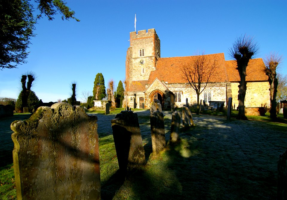
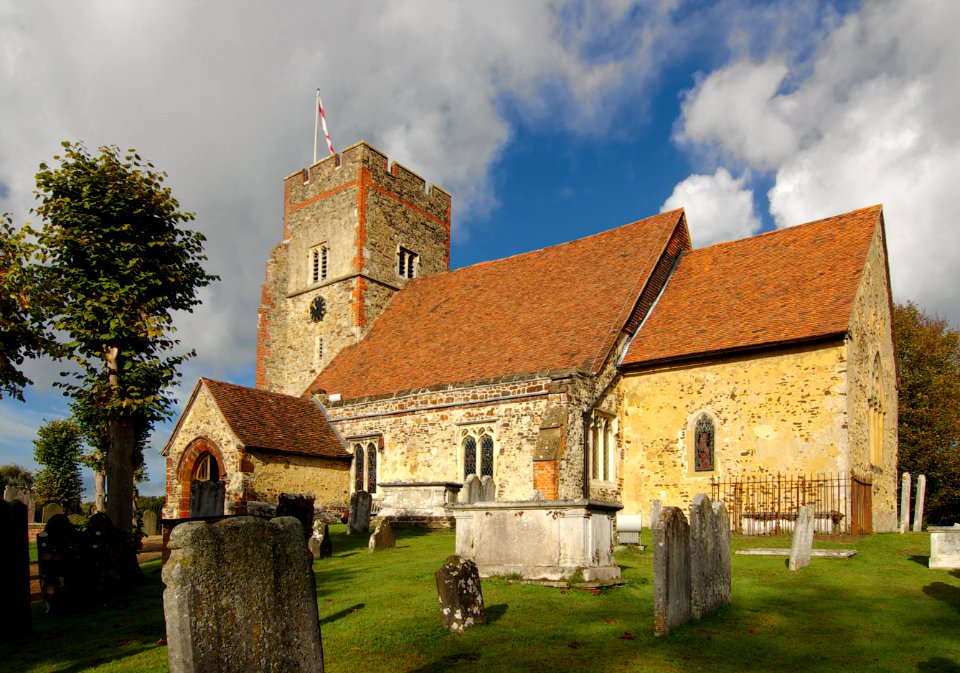
england
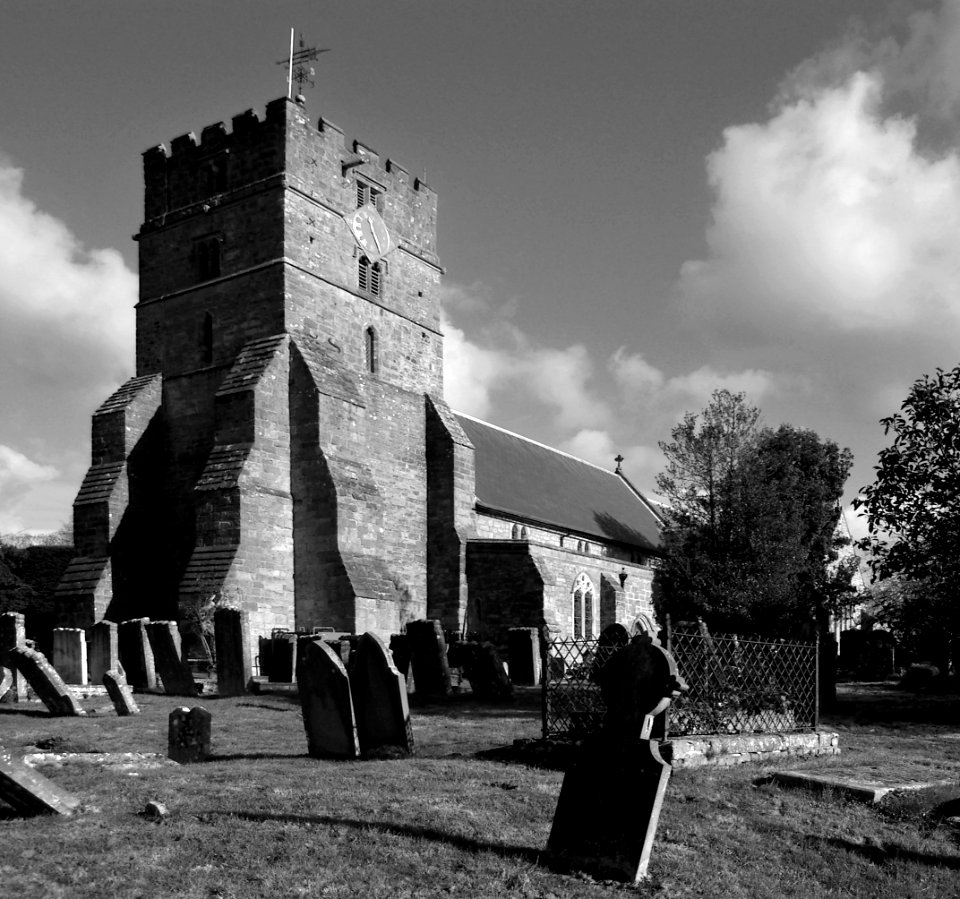
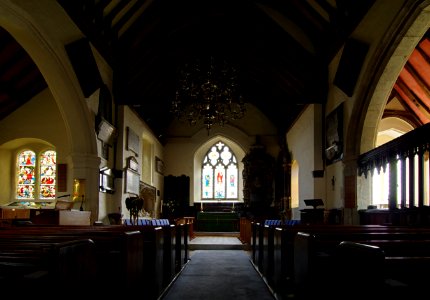
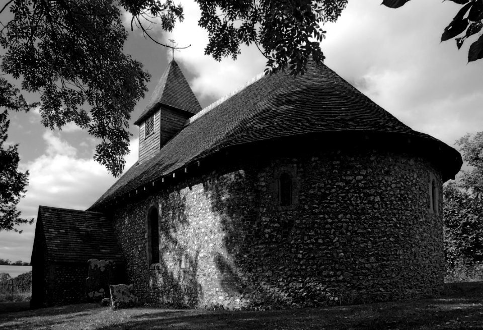
church
architecture
england
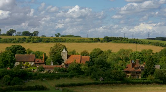
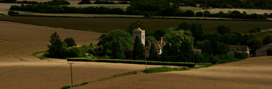
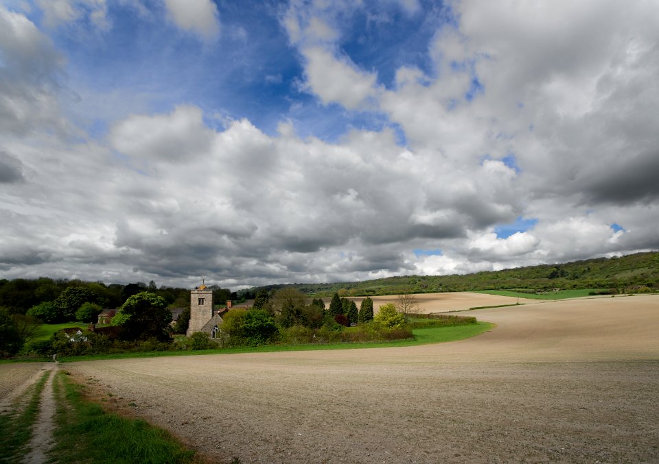
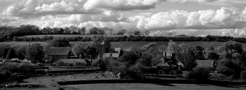
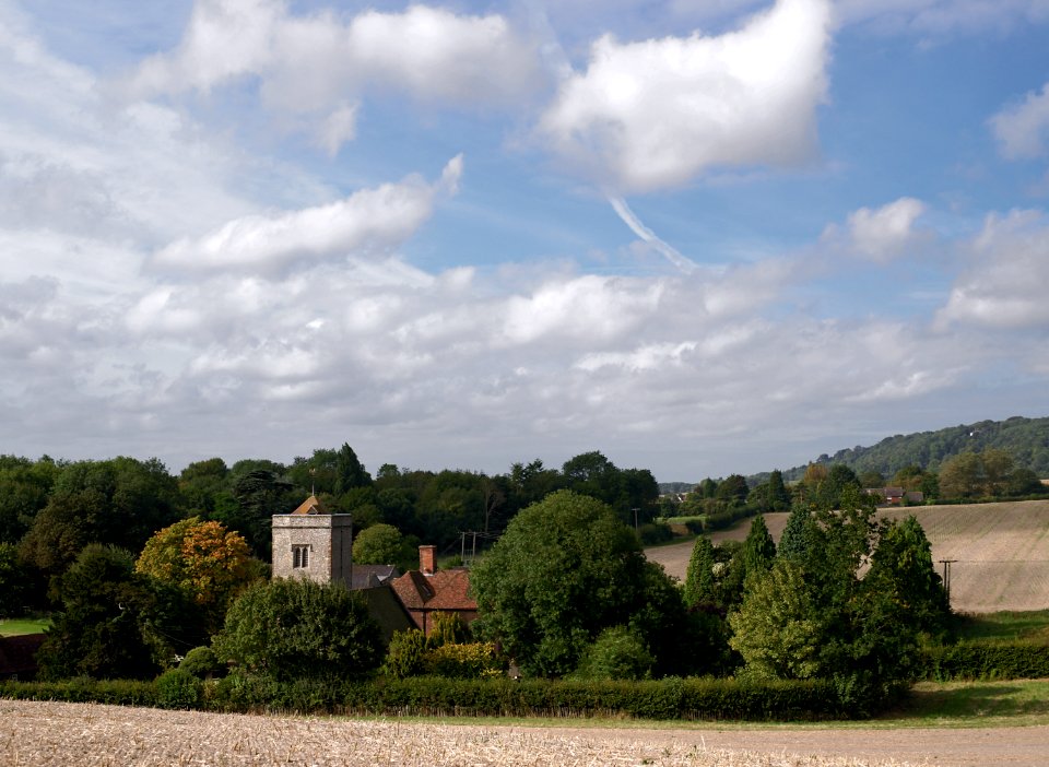
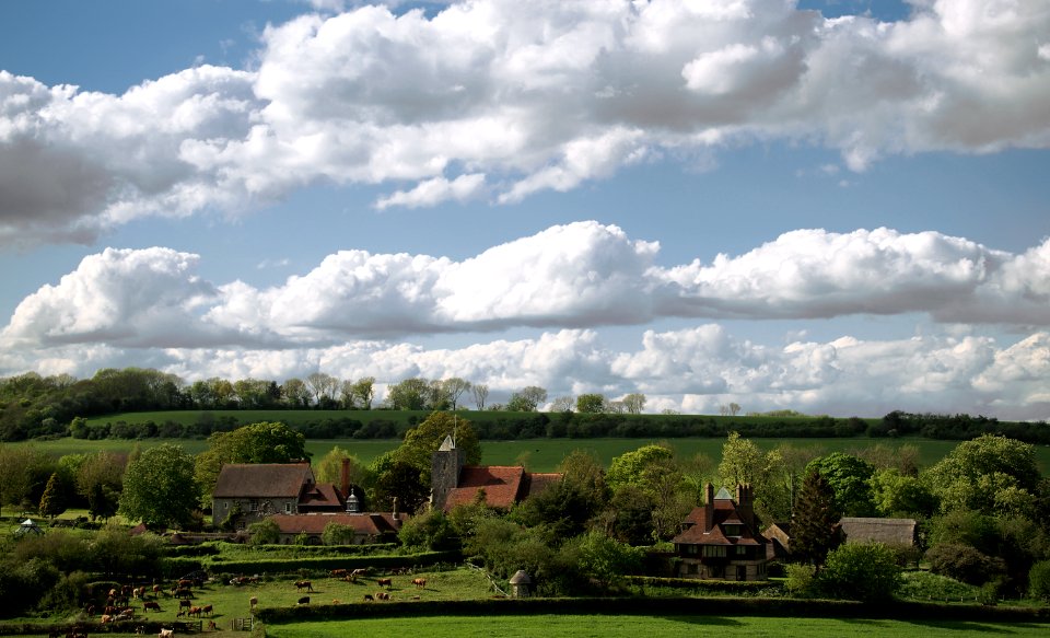
landscape
village
architecture
england
architecture
england
water
boat
carolyn wells texts (english)
st. nicholas, 1898
admiralty charts region b: england wales ireland english channel southern north sea
admiralty charts 2401-2600
lawrence h. slaughter collection of english maps, charts, globes, books and atlases
maps by claude joseph sauthier
lawrence h. slaughter collection of english maps, charts, globes, books and atlases
nypl lionel pincus and princess firyal map division
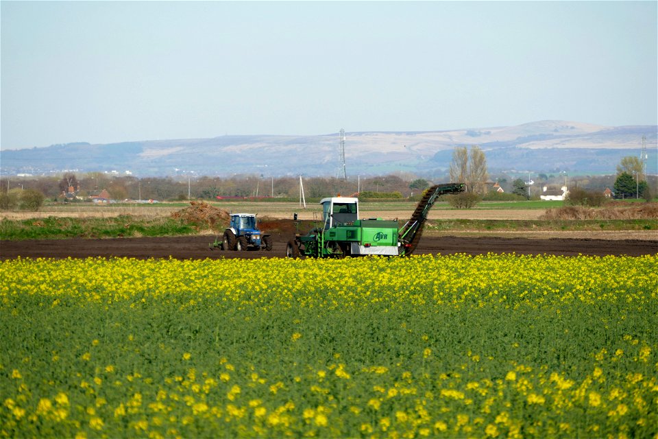
agriculture
spring
england
north
england
north
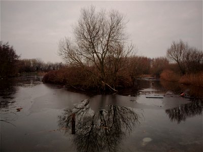
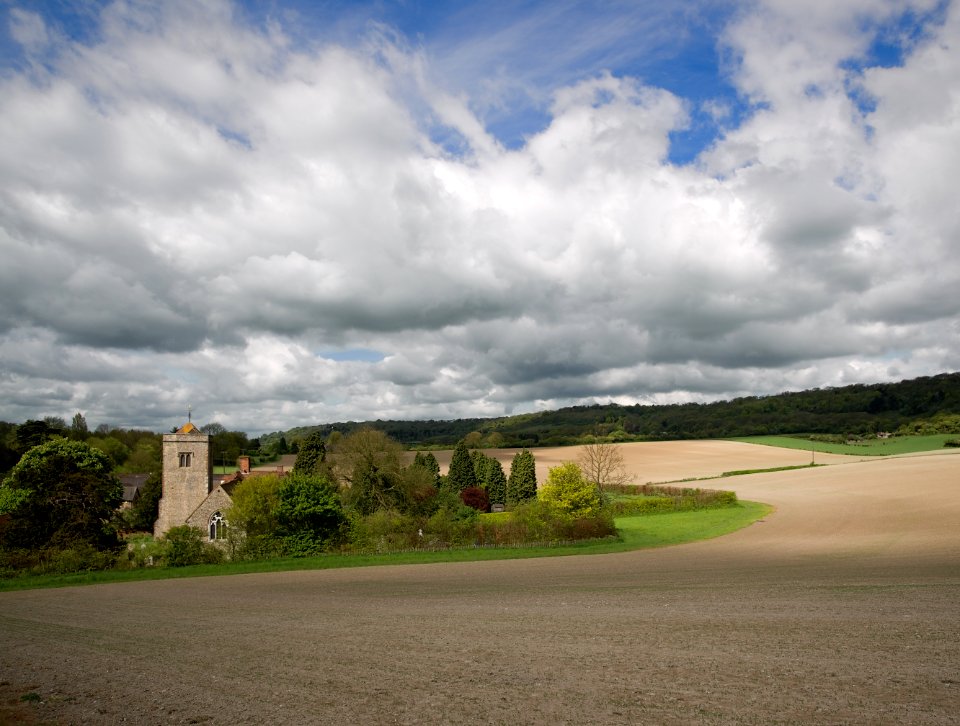
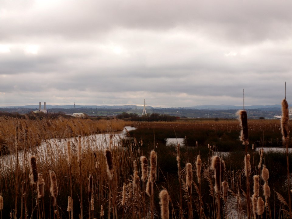
landscape
summer
landscape
england
england
memory
england
memory
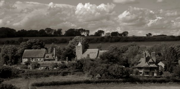
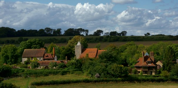
landscape
village
landscape
grass
england
memory
england
memory
landscape
grass
england
memory
england
memory
barbizon school
dakota (sioux)
monochrome
church
18th-century maps of nottinghamshire
chorographia britanniae (1741-1742)
eran laor cartographic collection
edward weller
chorographia britanniae (1741-1742)
18th-century maps of cambridgeshire
chorographia britanniae (1741-1742)
18th-century maps of northumberland
18th-century maps of huntingdonshire
chorographia britanniae (1741-1742)
chorographia britanniae (1741-1742)
18th-century maps of westmorland
chorographia britanniae (1741-1742)
18th-century maps of lancashire
chorographia britanniae (1741-1742)
18th-century maps of cumberland
village
grass
landscape
england
landscape
village
architecture
travel
a map of the provinces of new york and new jersey, with a part of pennsylvania and the province of quebec
lawrence h. slaughter collection of english maps, charts, globes, books and atlases
chorographia britanniae (1741-1742)
18th-century maps of staffordshire
chorographia britanniae (1741-1742)
18th-century maps of hertfordshire
maps of rodrigues island
old maps of mauritius
chorographia britanniae (1741-1742)
18th-century maps of leicestershire
1673 in new york city
24 august
chorographia britanniae (1741-1742)
18th-century maps of cheshire
chorographia britanniae (1741-1742)
18th-century maps of worcestershire
chorographia britanniae (1741-1742)
18th-century maps of shropshire
18th-century maps of herefordshire
old county maps of herefordshire
chorographia britanniae (1741-1742)
18th-century maps of rutland
chorographia britanniae (1741-1742)
18th-century maps of bedfordshire
chorographia britanniae (1741-1742)
18th-century maps of derbyshire
lawrence h. slaughter collection of english maps, charts, globes, books and atlases
nypl lionel pincus and princess firyal map division
chorographia britanniae (1741-1742)
old county maps of county durham
chorographia britanniae (1741-1742)
18th-century maps of lincolnshire
18th-century maps of buckinghamshire
chorographia britanniae (1741-1742)
18th-century maps of northamptonshire
chorographia britanniae (1741-1742)
18th-century maps of gloucestershire
chorographia britanniae (1741-1742)
lawrence h. slaughter collection of english maps, charts, globes, books and atlases
atlas novus (blaeu)
lawrence h. slaughter collection of english maps, charts, globes, books and atlases
atlas novus (blaeu)
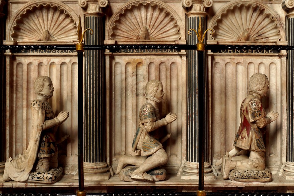
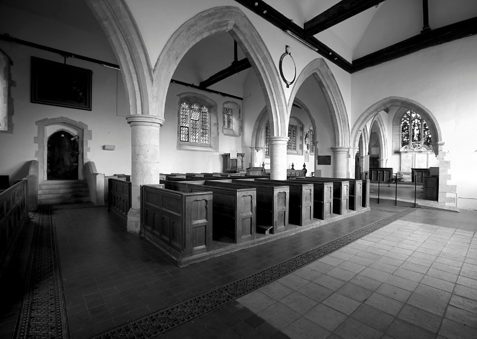
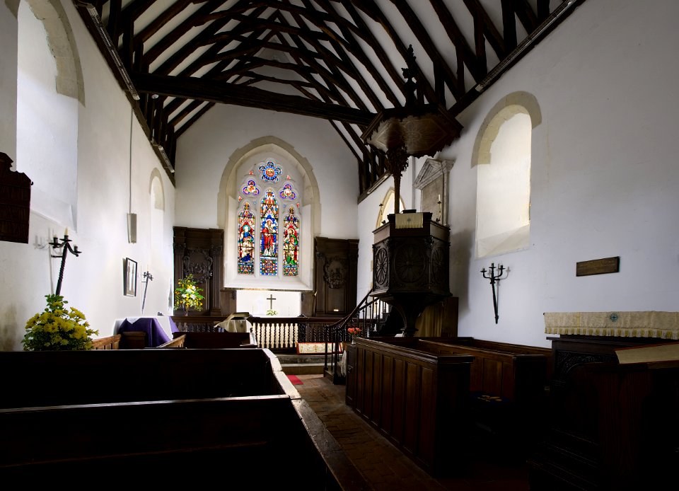
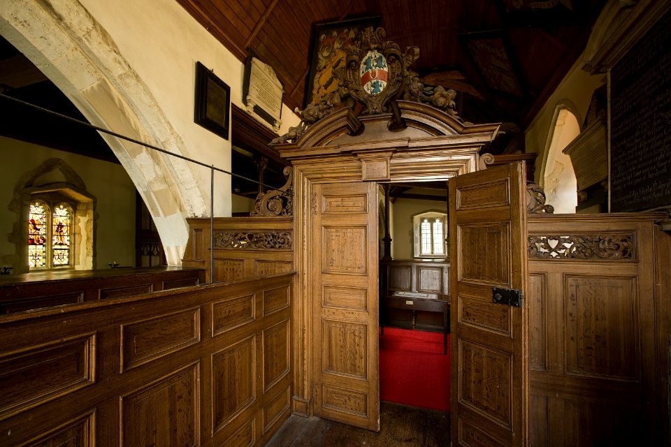
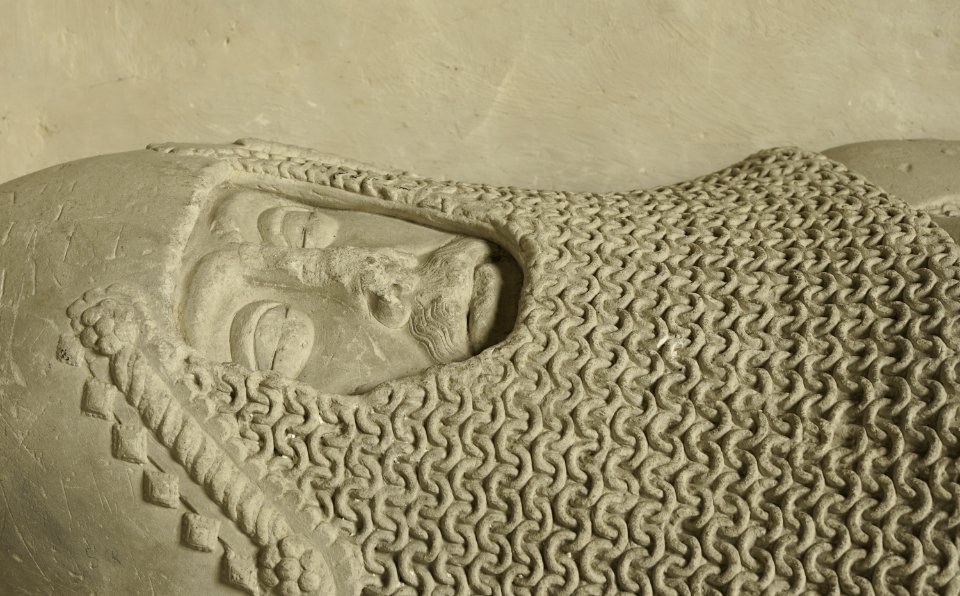
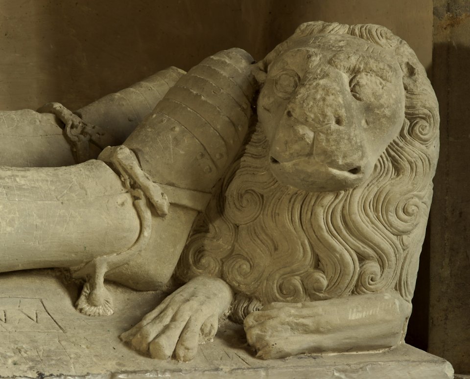
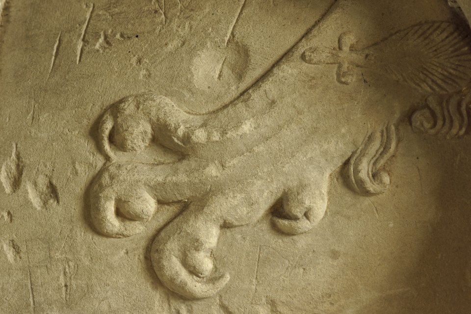
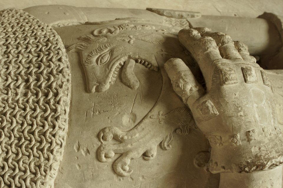
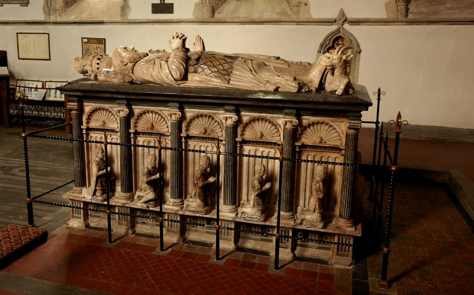
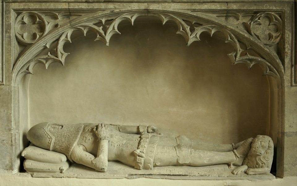
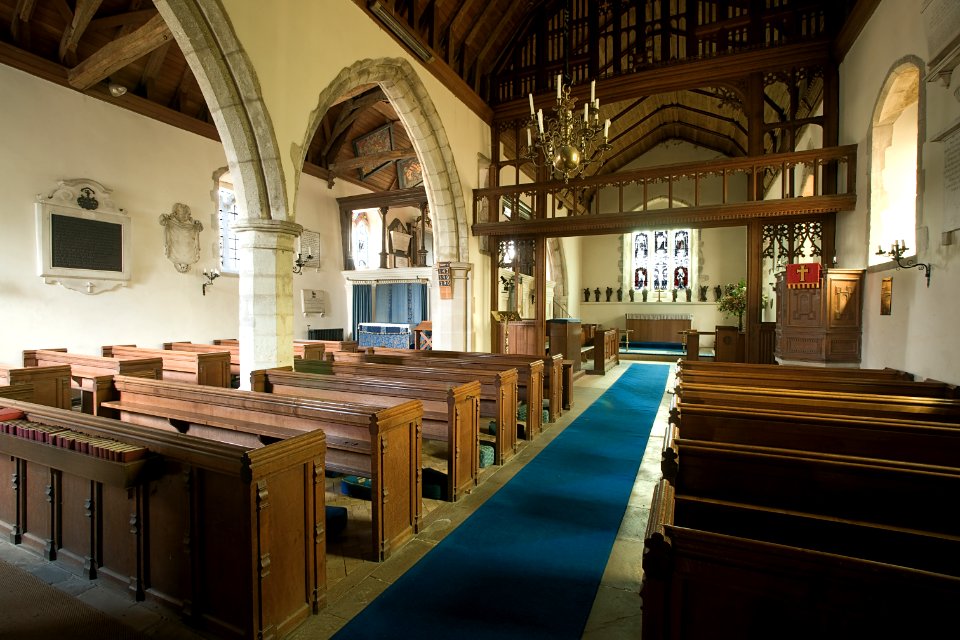
church
tomb
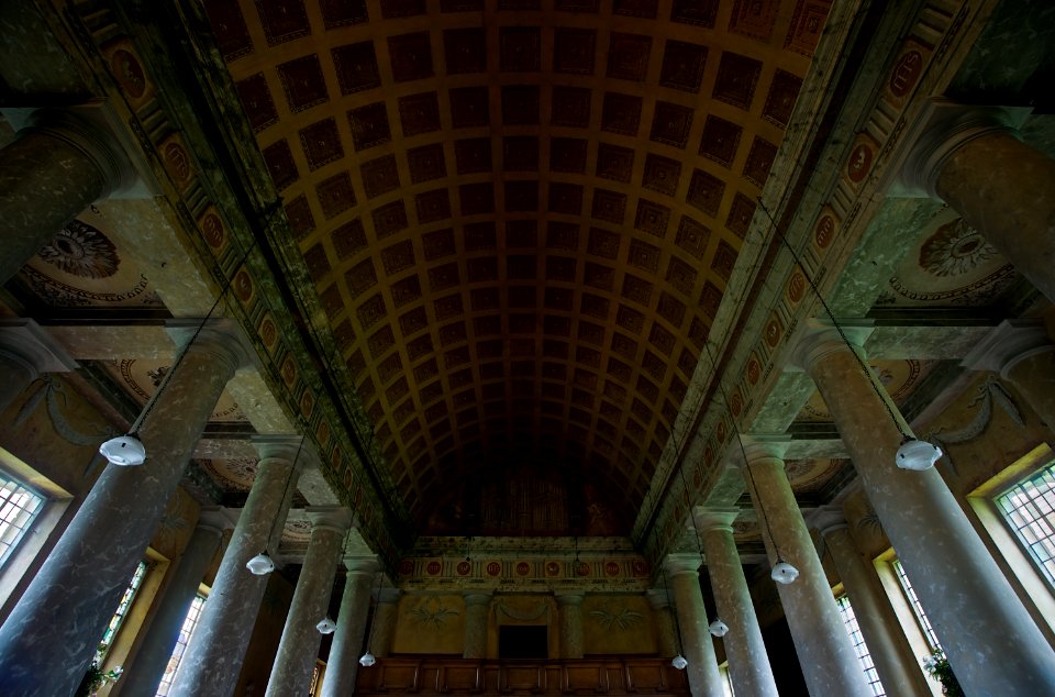
architecture
screen
architecture
england
architecture
landscape
architecture
landscape
lawrence h. slaughter collection of english maps, charts, globes, books and atlases
atlas novus (blaeu)
england
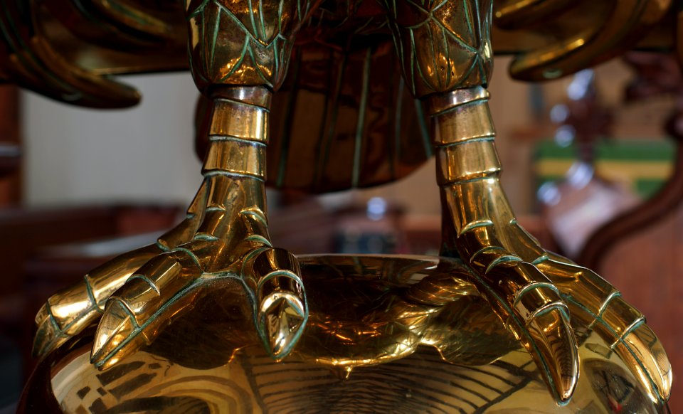
gold
lawrence h. slaughter collection of english maps, charts, globes, books and atlases
nypl lionel pincus and princess firyal map division
bibliothèque nationale de france
maps by thomas kitchin
paintings in the musée national du château de versailles
pierre-julien gilbert
admiralty charts 2001-2200
westport, county mayo
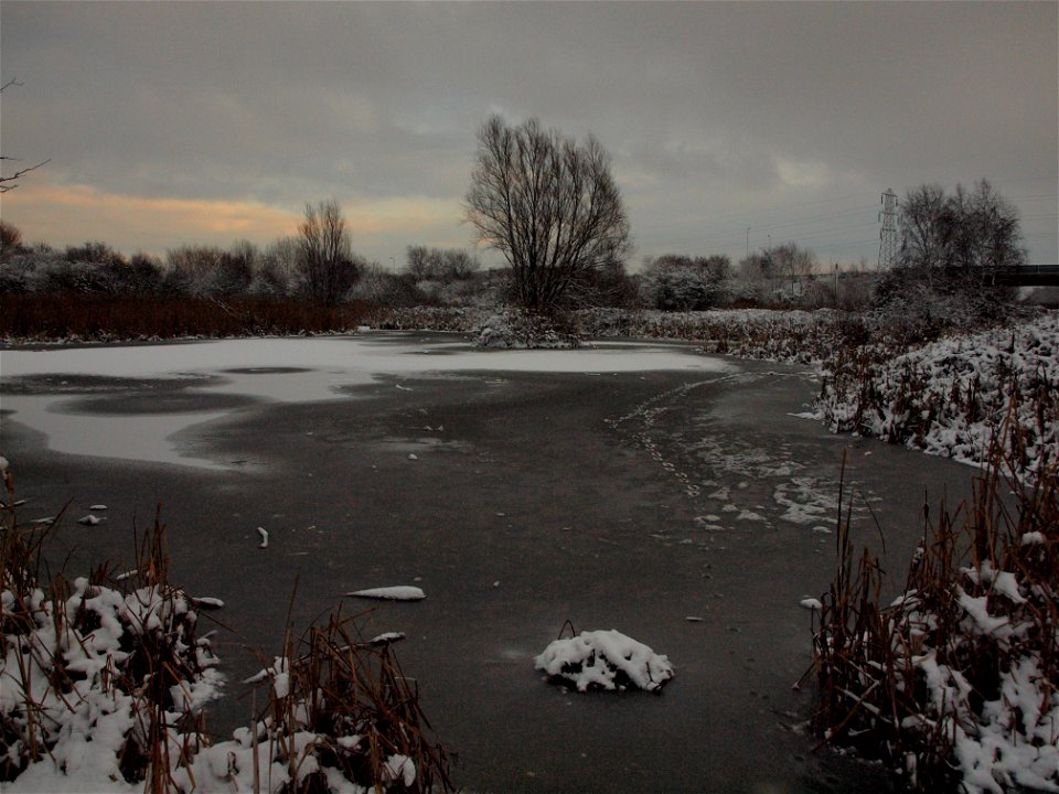
winter
tree
thomas easterly daguerreotype collection
maps by thomas kitchin
old maps of scotland
castle street, totnes
william spreat
frontispieces from england
maps by william faden
landscape
village
architecture
landscape
landscape
grass
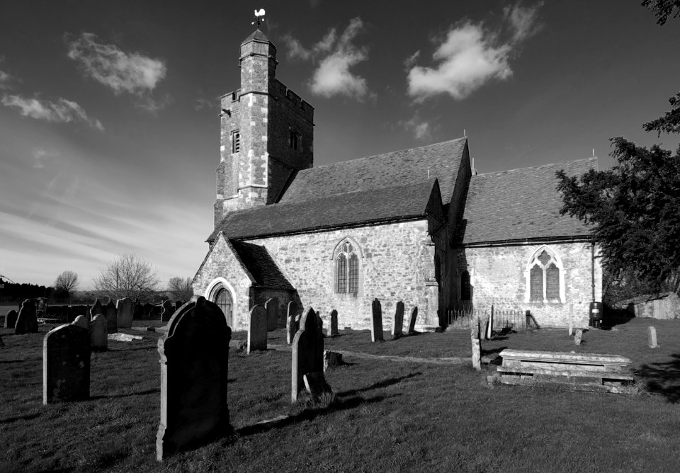
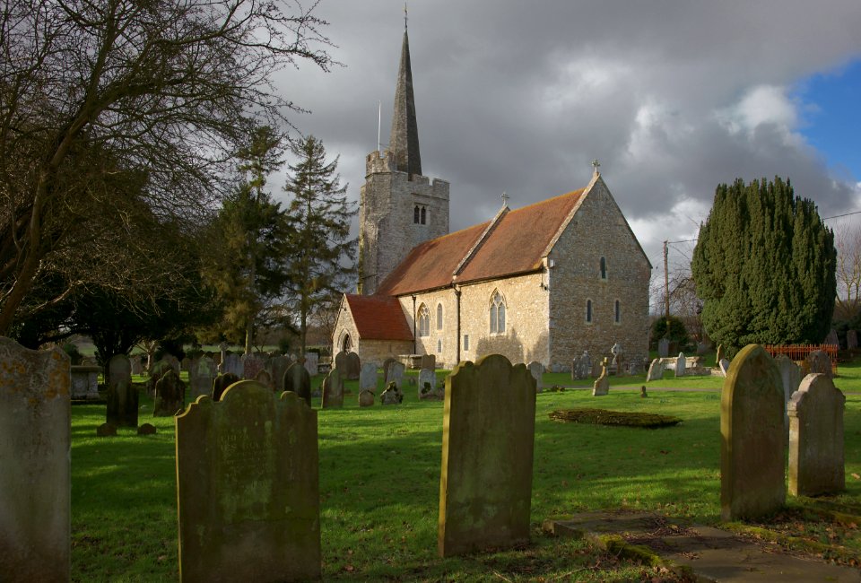
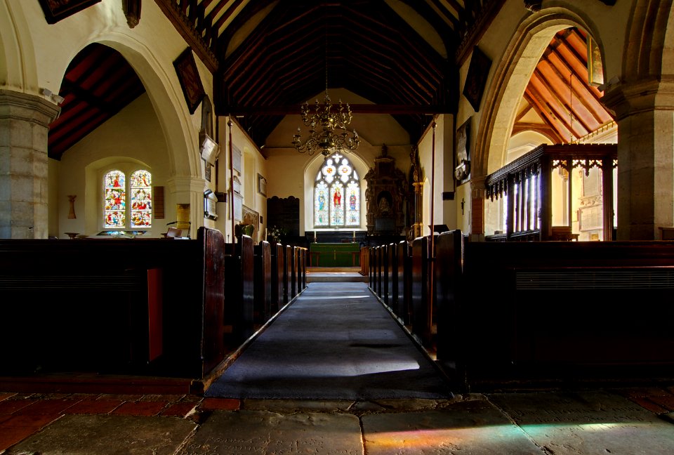
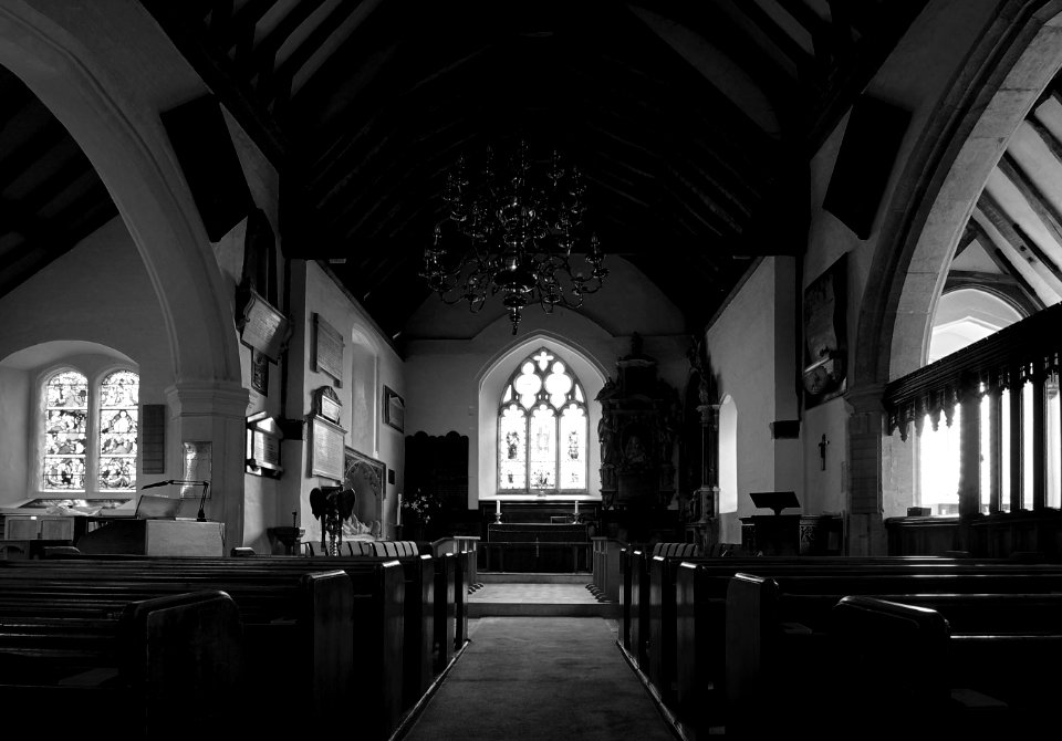
england
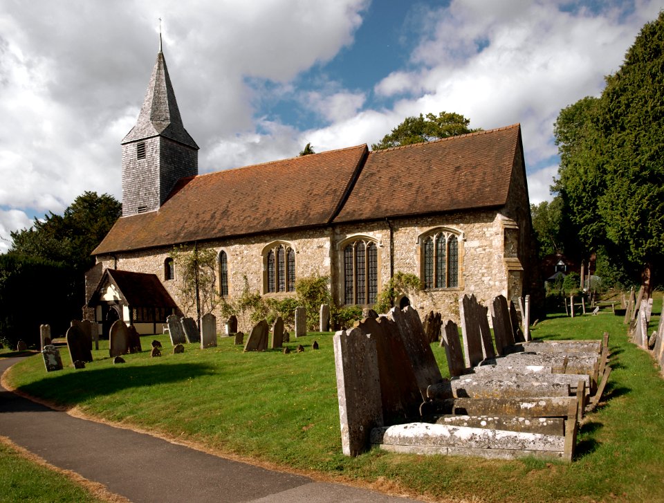
church
england
church
maps by john cary
1799 maps
travels in the interior of north america, during the years 1832–1834
works by maximilian zu wied-neuwied
admiralty charts region b: england wales ireland english channel southern north sea
admiralty charts 1401-1600
lawrence h. slaughter collection of english maps, charts, globes, books and atlases
novi belgii, atlas maior
landscape
grass
501 - 600 of 946
Next page
/ 10


![North America: based on the observations of Mrs. de l'Académie Royale des Sciences & some others, & on the most recent memoirs, 1700 [i.e. 1708]](https://cdn.creazilla.com/illustrations/10001447935/north-america-based-on-the-observations-of-mrs-de-lacadmie-royale-des-sciences-some-others-on-the-most-recent-memoirs-1700-ie-1708-sm.webp)